
Geographic context
Combine relevant layers, areas of interest, assets, and records in map experiences shaped around the operational question.
Connect events, places, and time in a common view of the information that matters to your team.
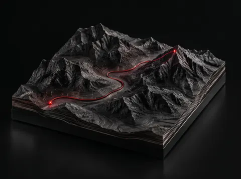
A location is more useful when it is connected to the event, asset, document, or responsibility behind it. We develop monitoring and geospatial experiences that help teams move between the broad picture and the underlying detail, with clear ways to review changes and carry them into a workflow.
Combine relevant layers, areas of interest, assets, and records in map experiences shaped around the operational question.
Review information within a meaningful time window, inspect changes, and connect current observations to earlier records.
Set the information sources, conditions, and review paths around the signals a team needs to follow.
Open the supporting record from the map or event view, assign review, and keep the outcome connected to its context.
Designed for infrastructure oversight, program monitoring, logistics, situational awareness, and teams coordinating information across locations.
Geospatial mapping, asset visualization and location-based awareness.
Select this capability →Personnel roster, team assignment and voluntary location reporting.
Select this capability →Unified tracking for inbound materials and outbound customer orders.
Select this capability →Shipment ETA, carrier performance and delivery alerts.
Select this capability →Related modules are selectable building blocks, not a representation that every specialized integration is already deployed. Custom workflows and acceptance criteria are agreed during discovery.